Garmin zumo XT2 motorcycle navigator, Europe (010-02781-10)
Tuotekuvat ovat havainnollistavia. Alkuperäinen tuote voi vaihdella, joten katso tuotetiedot tuotekuvauksesta.
Hinta
€ 561.40Verkkokaupan hinta voi vaihdella kaupan hintojen mukaan.
Pistettä ![]() +561
+561
Maksuerät
 alkaen € 15.88 /kuu.
 alkaen € 15.88 /kuu.
Toimitusaika ja vaihtoehdot
-
 2-4 päivää
 -
 2-4 päivää
 -
 2-4 päivää
 -
 2-4 päivää
 -
 2-4 päivää
Tuotteen Kuvaus
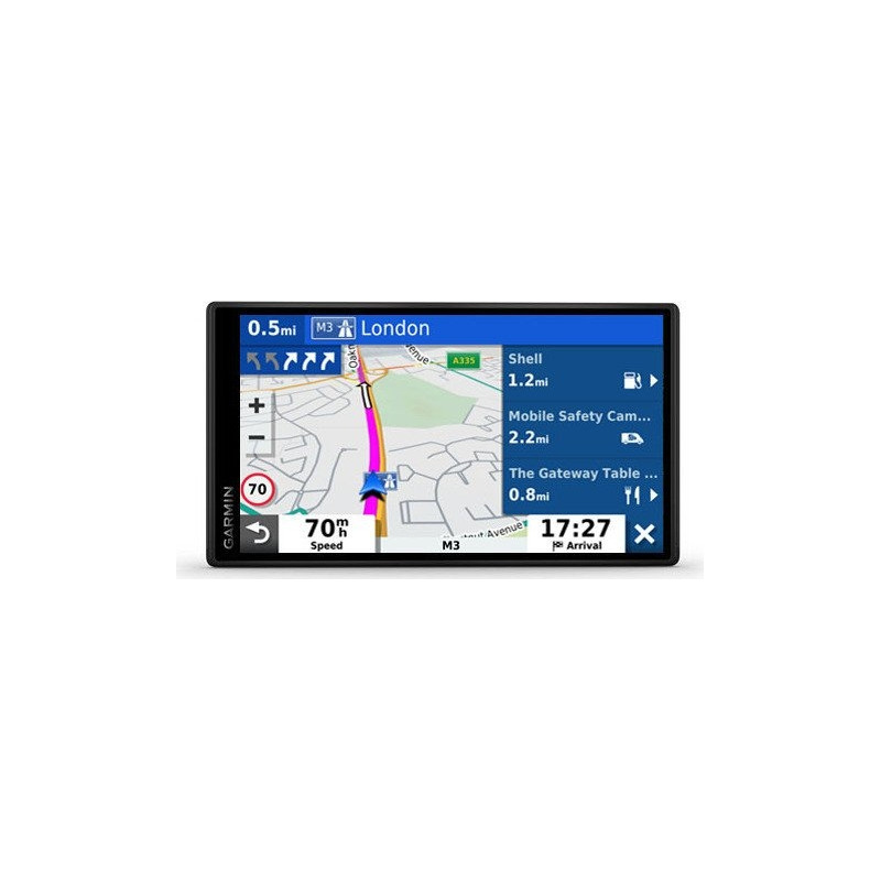
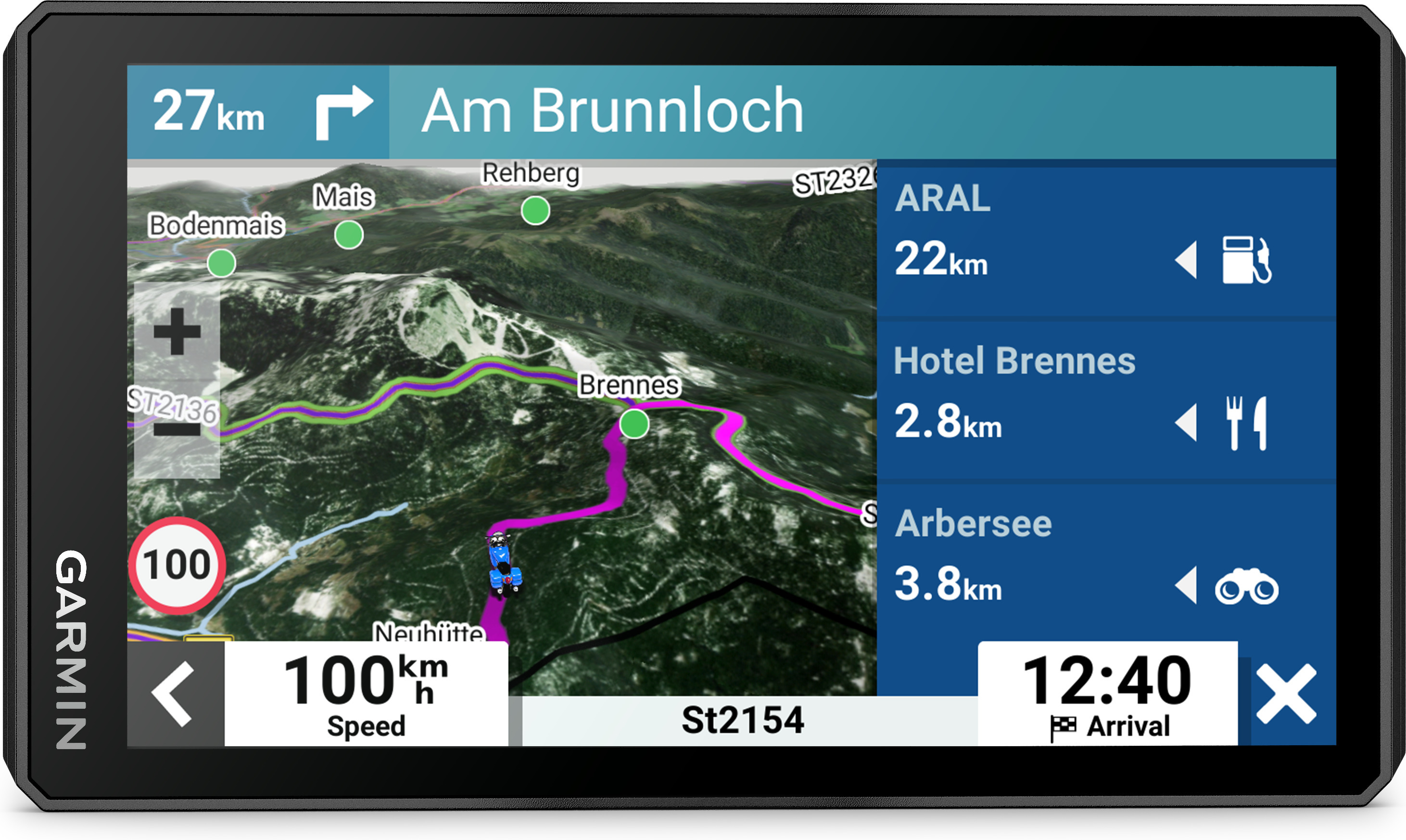
The Garmin zumo XT2 motorcycle navigator is designed for adventures. The larger and brighter 6-inch screen withstands various weather conditions and handlebar vibration. With the new visual route planning, it is easy to plan your own routes, for which you can choose, for example, steep, winding sections or roads suitable for efficient progress. In a group ride, you can follow the progress of your friends on the zumo screen (the Tread smartphone app is required). The device has popular motorcycle routes, MICHELIN Scenic Roads scenic routes and satellite images to help you discover new destinations. After the drive, you can share the details of the drive, e.g. accelerations and braking.
The most important qualities:
- The 6-inch screen is 15% larger than previous models and even brighter and more accurate horizontally or vertically
- Rain, vibration or dust won't hurt, because the device is designed to withstand all kinds of weather conditions (IPX7) and hard going
- Plan your own route with the device or use the Tread application downloaded to a compatible smartphone
- Use your smartphone map and/or zumo XT2 to track your friends with Group Ride Mobile
- Discover unforgettable driving routes with MICHELIN Scenic Roads. It is easy to integrate the routes into the travel plan with the help of visual route planning. Or go on a driving trip without further planning by choosing the roads highlighted in green on the map
- Popular motorcycle routes offer the opportunity for new and exciting driving experiences
- Straight roads are boring. Find the most exciting routes with hills, curves and attractions. 4 difficulty levels to choose from
- In the Tread application, you can view detailed information about the trip, which includes e.g. speed, accelerations, braking and height differences
- The preloaded MICHELIN guide contains detailed hotel and restaurant descriptions and reviews. With their help, it is easy to judge whether it is worth braking at the destination
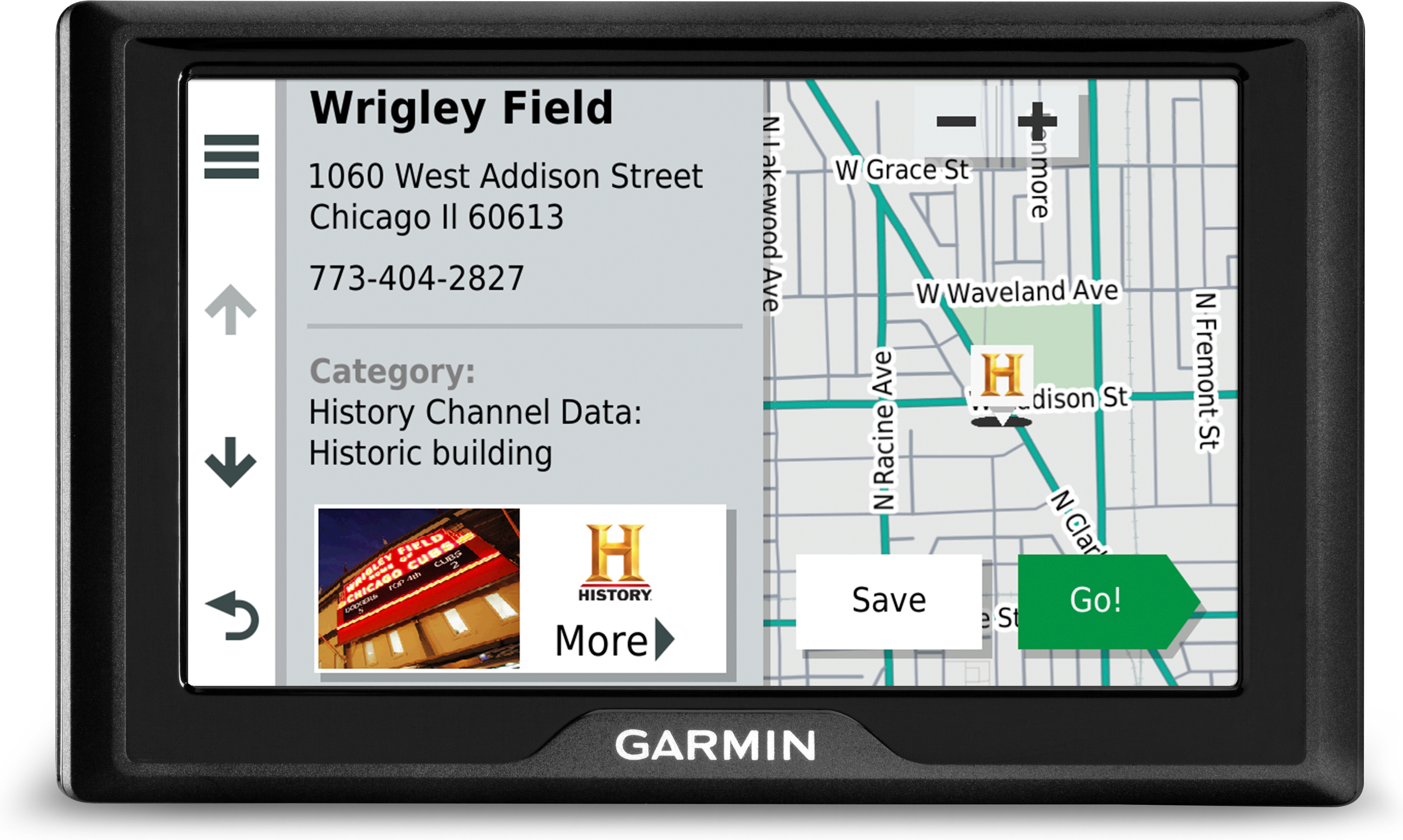
- Find the best destinations along the route. The device suggests popular destinations or helps find local attractions near its current location
- Easy transition between road maps, topographic maps and satellite images. There is always a map that best suits each route
- The device is preloaded with 3D terrain and street maps of Europe and the Middle East. Maps of North and South America, Africa, including Tracks4Africa, and Australia and New Zealand are available for download via
- When an event occurs, a text message with location information is automatically sent to the preset contact person
- Translation by translation guidance
- Displays 3D terrains
- Topographic map
- BirdsEye satellite imagery
- Alerts for the driver
- Visual route planning
- Garmin Adventurous Routing™ routing
- Popular routes (motorcycle)
- MICHELIN Scenic Roads
- MICHELIN Green Guide
- Popular destinations
- Local attractions
- Ecosystem for managing waypoints, tracks and routes management
- Import and share GPX files
- Viewing and sharing of driving summaries
- Group Ride Mobile
- Group Ride Tracker compatible
- Bluetooth hands free/voice instructions
- Event notifications
- Can be paired with a device
- Weather radar through the Tread app
- Media playback and management / MP3 player
- Map area: Europe and Middle East preloaded. Africa, North/South America, Australia and New Zealand available for download
Technical information:
- Screen: 6 inches 1280 x 720 HD, 1050 nits
- Capacitive touchscreen for use with gloves, horizontal or vertical
- Battery life: up to 6 hours (3.5 hours with 100% backlight)
- Protection: IPX7
- Memory cards: microSD card (optional)
- Dimensions: 15.7 x 8.8 x 2.4 cm
- Weight: 342 g
In the sales package:
- zümo XT2 navigator
- Motorcycle rack and accessories
- Motorcycle power cord
- USB cable
- Instructions
Compatible products: